Survey and development projects for mineral resources (2)
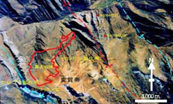
Desktop surveys
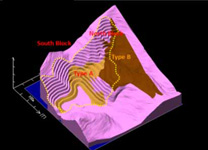
First, we examine promising mineral areas using existing materials, such as satellite images, geological maps, topographic maps, and technical literature. The analysis of satellite images is especially useful for estimating geological structures and mineral alteration zones, identifying promising areas, and formulating plans for conducting effective and efficient field studies.
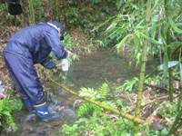
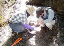
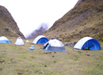
Field studies
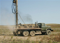
Field studies are conducted based on the results of desktop investigations. They include surface geology surveys, geochemical exploration, physical exploration, drilling surveys, etc., to examine the potential for the existence of mineral deposits.
Development
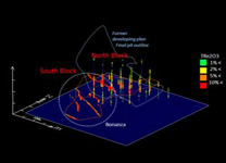
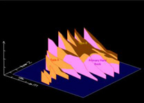
When a mineral deposit has been identified as promising, a high-precision drilling survey is conducted to calculate the amount and grade of reserves. Based on its results, the potential for development is evaluated from technical and economic perspectives. Furthermore, environmental measures, including the evaluation of impacts on ecosystems, water systems, etc., are important factors that are also considered.
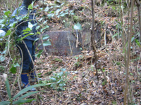
Mine closure
Resources that lie under the ground are limited. Mines which can no longer be economically exploited have served their purpose. After a resource has been developed and a mine is closed, it is important to conduct monitoring and formulate appropriate measures to ensure that the closed mine does not cause environmental problems.